Chad McDonald
At first, it’ll seem like high tide is always a little bit higher than you remember. You’ll pull up to your normal parking spot near your fave break and notice the beach seems to be shrinking a little bit. Then, a few years later, as whitewater sloshes over the breakwall meant to protect the parking lot at high tide, you’ll tell newcomers, “You can’t tell right now because it’s under water at high tide, but there used to be a beach here.” A decade or so after that, the parking lot now underwater, the breakwater an artificial reef, you’ll have only faint memories of when you used to lounge on the sand fronting the parking lot, one now subsumed under water all the time.
For years now, researchers have warned Californians that rising sea levels and climate change have the potential to reshape beaches across the state. A new study takes that vague-ish warning and crystallizes it into actual data that can show which areas will be most affected by a rising sea. Published in the journal Shore & Beach, co-authors Kiki Patsch and Dan R. Reineman’s paper, “Sea level rise impacts on coastal access” is an incredible collection of data that actually shows which parts of the coast are going to be inundated at various levels of sea level rise.
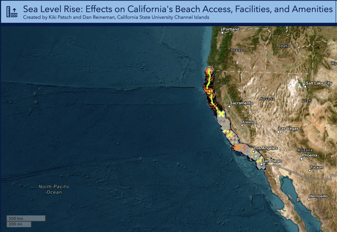
Not theoretical. Not some alarmist take on a far off possibility. Actual geospatial data about beach access points that will be subsumed. In the past, we’ve discussed how surf breaks statewide will change as sea level does. This study, however, shows how beach access itself will be threatened. Piers. Parking lots. Beach stairs. Trails. Everything. And it’s a pool of organized data with a map you can look at to specifically see which tiny plots of land will be underwater.

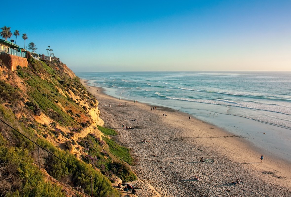
Studio One-One/Getty
Basically, at a state level, with every foot of sea level rise, California loses roughly 100 coastal access points. For context, state researchers suggest California may see nearly two feet of sea level rise by 2100. That means nearly two-thirds of beaches in southern California will be eroded completely without heavy investment in massive infrastructure projects that may not work anyway, or simply never be approved. Sea level rise of multiple feet puts not just beach access in danger, but also low-lying airports in San Francisco and Oakland, and nearly 200,000 homes statewide.
“These results highlight that not only are California’s beaches highly susceptible to rising sea levels, but our ability to visit and enjoy beaches is also at risk,” Reineman told SURFER. “Losing 100 beach access opportunities with every foot of sea level rise should give us pause to reflect on how we will manage our coastline now and going forward – how and for whom.”
Bear in mind, this isn’t the sort of study that ends with a line about how reducing carbon emissions can fix this. Sea level rise is happening already and can’t be shut off. Even completely eliminating carbon emissions today wouldn’t prevent sea level rise in the coming decades. Studies like this are crucial for decision makers in coastal communities — and the people who live in them — as they plan for the future.

Kiki Patsch and Dan R. Reineman
In the meantime, don’t be surprised if each year the beach creeps a little closer to the stairs as you’re jogging down for your morning surf. And think about how you want your community to adapt to ensure access is preserved, even though the waves will surely be different.
Read the study here, and check out the map showing areas at risk.

